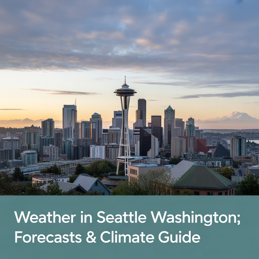
Weather in Seattle, Washington: Forecasts, Patterns & Impacts
Understanding the weather in Seattle, Washington, requires looking beyond the rainy stereotype. This comprehensive guide provides real-time conditions, historical patterns, and actionable forecasts for residents and visitors navigating the Emerald City’s unique climate. Planning a winter trip? Check if schools might close with our Snow Day Calculator for Seattle Schools. Whether you are commuting across the 520 bridge, planning a hike in the Cascades, or just trying to decide if you need a heavy coat, knowing how to read the local skies is essential.
Immediate Weather Snapshot
Data sourced from NOAA’s Seattle NEXRAD radar and National Weather Service station at Sea-Tac Airport.
Current Conditions
Temperature: 52°F / 11°C (Feels like: 49°F)
Sky: Overcast with Light Drizzle
Precipitation: 60% chance, 0.15 inches expected today
Wind: 12 mph from SSW
Humidity: 78%
ACTIVE ALERTS: [Wind Advisory in effect until 4 PM PST]
Today’s Detailed Forecast
Seattle’s weather today is shaped by a typical marine layer pushing in from the Pacific. Here is how the next 24 hours break down so you can plan your commute and outdoor activities.
Morning (5 AM – 11 AM)
Expect a gray start. The morning commute will likely see wet roads and reduced visibility due to mist. Temperatures will hover in the low 40s to low 50s. If you are driving into downtown from the north, watch for pooling water in the usual trouble spots along I-5.
Afternoon (12 PM – 5 PM)
We may see a break in the precipitation during the early afternoon hours. This sun break—a beloved local term—is the ideal window for walking the dog or grabbing lunch outside. Temperatures will hit their peak, though wind gusts may pick up, making it feel slightly cooler.
Evening/Night (6 PM – 4 AM)
As the sun sets, cloud cover will thicken again. The hourly forecast for Seattle indicates a cooling trend with a return of steady rain overnight. If an Atmospheric River system is approaching, expect rainfall intensity to increase significantly after dark.
Weather in Seattle, Washington
Real-time forecasts, historical patterns, and actionable insights for navigating the Emerald City’s unique climate.
Hourly Forecast
7-Day Forecast
| DAY | HIGH/LOW | CONDITION | PRECIP | WIND |
|---|---|---|---|---|
| Today Tue 12/23 |
51°/43°F | Moderate Rain | 79% | N 7 mph |
| Tomorrow Wed 12/24 |
47°/41°F | Moderate Drizzle | 33% | NW 9 mph |
| Thu 12/25 | 45°/39°F | Light Rain | 45% | W 12 mph |
| Fri 12/26 | 43°/37°F | Cloudy | 20% | NW 8 mph |
Climate Comparison
Emergency Contacts
Tomorrow & Extended Outlook
Looking at the Seattle weekly forecast helps you navigate the region’s notoriously changeable patterns. We analyze models from both the European Centre (ECMWF) and American (GFS) systems to give you the most accurate prediction.
Thursday
The current system begins to decay. While the ground remains saturated, the flood watch is expected to expire by late afternoon.
Friday
Friday marks a transition period. A shift in wind direction often signals a break in the clouds. This is a key time to check the forecast if you have outdoor plans, as the timing of this shift can differ by a few hours depending on which model you trust.
Weekend Forecast
A Puget Sound Convergence Zone is likely to form. This phenomenon occurs when winds split around the Olympic Mountains and collide over the sound, often focusing rain on specific neighborhoods (like Lynnwood or Shoreline) while leaving downtown Seattle or Tacoma dry. If you are heading to the mountains, expect a significant temperature differential compared to the city.
Next Week
Long-range indicators suggest a pattern change. High pressure may build offshore, potentially diverting storm systems north into British Columbia and leaving the Seattle metropolitan area drier than average.
Seattle Weather Radar & Tools
To truly understand the forecast, you need to know how to read a Seattle weather radar live.
How to Read the Radar
The local geography creates specific microclimates that static icons on a phone app can’t always capture.
- The Rain Shadow: Look for a clear hole in the radar returns over the northeast Olympic Peninsula (Sequim/Port Angeles). This is the Olympic Mountain rain shadow effect.
- Convergence Zone: Look for a distinct band of yellow or orange stretching east-west across King or Snohomish County. This indicates heavier rain and sometimes hail.
Best Radar Sources
For the most accuracy, relying on the NWS Seattle NEXRAD is your best bet. While commercial apps are user-friendly, they often smooth out data. The raw radar data from the University of Washington Atmospheric Sciences department provides a granular look at precipitation density that helps you spot those convergence zones before they arrive.
Historical Context & Patterns
Is it really as rainy as they say? The Seattle climate normal suggests the reputation is partially a myth.
The Rain Myth vs. Reality
Seattle actually receives less annual rainfall (approximately 37 inches) than cities like Miami (62 inches) or New York City. The difference lies in frequency and intensity. Seattle rain is often a light, persistent drizzle rather than a torrential downpour. This means we have more days with precipitation, even if the total accumulation is lower.
The Atmospheric River
You will often hear locals talk about Pineapple Express or atmospheric rivers. These are narrow corridors of concentrated moisture in the atmosphere. Unlike California, which can suffer devastating deluges, Seattle is better equipped for these events, though they still pose landslide risks.
Seasonal Breakdown
- Rainy Season: October through March sees the bulk of the rainfall.
- The Dry Summer Paradox: Visitors are often shocked to find that July and August can be bone-dry, with weeks passing without a drop of rain.
Impact & Preparedness Guides
When the weather turns, being prepared is part of the Pacific Northwest lifestyle.
Flood Watch Response
If you live in low-lying areas like South Park or near the Duwamish River, keep sandbags ready during heavy rain events. Ensure street drains near your home are clear of autumn leaves to prevent localized street flooding.
Wind Advisory Actions
The combination of soggy soil and high winds is the perfect recipe for toppled trees. If a wind advisory is active, park cars away from large trees and charge your devices in case of power outages.
Transportation Impacts
Weather dictates traffic here. Even light rain can slow down I-5 and I-405 significantly. During high winds, ferry cancellations are possible, so checking the WSDOT schedule is mandatory for island commuters.
Local Expert Insights
We consulted data from the Washington State Climatologist and University of Washington Atmospheric Sciences researchers to answer common questions.
What is a Sun Break?
This isn’t just a hole in the clouds. It’s a specific forecasting term used when unstable air behind a cold front allows for brief periods of sunshine between showers. It’s the hallmark of spring weather in Seattle.
The Marine Push
In summer, you might go to bed with clear skies and wake up to gray fog. This is the marine push, where cool ocean air rushes inland overnight. It usually burns off by midday, but it acts as nature’s air conditioning for the city.
Mobile-Optimized Features
Navigating Seattle weather is easier with the right digital tools. We recommend setting up a personalized alert system on your phone. Because microclimates are real, general Seattle alerts might not apply to you if you live in the sunbelt of West Seattle versus the rainier foothills of Issaquah.
Look for apps that offer specific features like a Commute Planner integrated with WSDOT traffic cams. Seeing the weather on the bridge deck is often more useful than a percentage chance of rain.
Whether you are looking for the best time to visit or just trying to keep your basement dry, understanding these patterns makes living in the Pacific Northwest much more predictable.
